


ABOUT THE TECHNOLOGY
INNODRAW's technology is based on several components.
1. Measuring laser range
2. Digital mapping
3. Friendly interface
4. Software
5. Internet
1. Measuring laser range
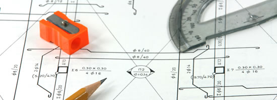
The basis of the hardware system is a laser-based rangefinder. The device sends laser signals to objects (walls, outlets, windows, etc.) and according to the signal returned it calculates the distance from the device to the object. In addition, a direction measuring device is connected to the system which reports to the computer the exact angle at which the laser rangefinder is set.
2. Digital Mapping
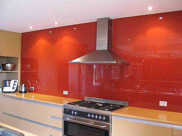
By clicking on the measuring button, data about the distance and angle of the object to be measured is obtained. This data is processed on the computer and the calculation result determines exactly where the object is in space. Further to the measuring process, when data of other objects are added, an accurate map of the area is created on the computer.
Calculations - The system allows different types of measuring. For example, a straight wall - in this case, the surveyor aims at two random dots and the system calculates the straight line which is the wall, based on a formula. A curved wall – the surveyor aims at several points along the wall and the system calculates the "curvature" of the wall and builds a collection of points along the wall - which is an accurate estimate of the curvature of the wall.
Measurement Verification - The system allows the surveyor to verify the accuracy of the measuring by making "check and verification measurements" where the computer - according to the calculated internal map – validates the data of the verification checks.
3. Friendly interface
The surveyor has many drawing tools at his disposal activated by screen touch. During the regular measuring process, the surveyor does not need to give any instructions to the computer. All he needs to do is to aim the laser beam and "scan" the walls clockwise or counterclockwise. The computer - automatically - follows the laser beam position and completes the mappings by itself. Once mapping is finished, the surveyor can use the many tools at his disposal to add relevant information to complete the overall picture.
4. Software
At the end of the process, the software connects all the data into a perfect electronic drawing in INNODRAW's unique format – called ELC.
5. The Internet
Upon completion of the measurement, the surveyor transmits the drawing by pushing a button on the INNODRAW server. The measuring information is automatically registered on the server. In addition, in coordination with the client, the server converts the drawing format to the specific format required by the client's, such as PDF, DXF, DWG, ORD, etc. The drawing in its final format is sent to the client to the addresses programmed on the server, including the sales manager, the designer, the production manager, etc. In addition, an email is sent to the client advising him that the measuring has been carried out and is available to the client at the site opened for him by INNODRAW.